
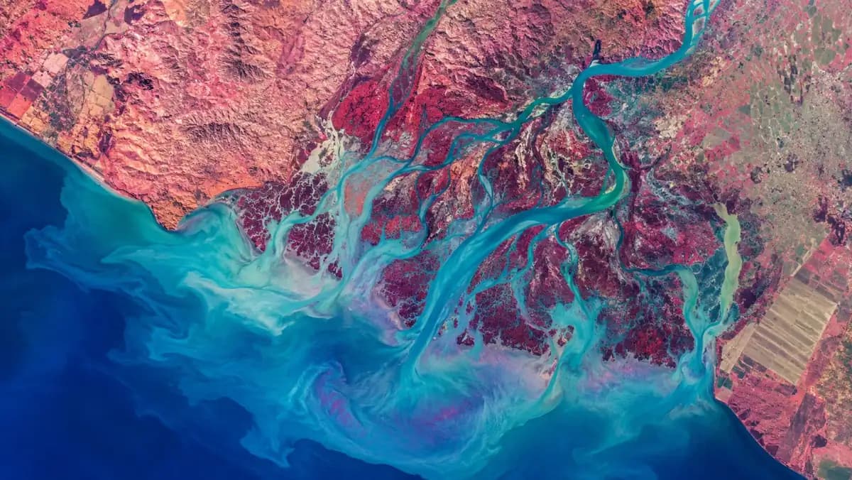
A river delta and its sediment plume in false colour. · Illustrative image
GeoAI
ResearchTurn satellite data into decisions.
MixQuac GeoAI transforms Earth-observation data into decision-ready geospatial intelligence using AI and edge-processing workflows, built so the analysis runs the same way whether it executes on the ground today or on board later.
For teams who need to know what changed on the ground, and when.
- Development status
- Research
- Layer
- INTELLIGENCE
- Code
- GEOAI
Compatibility
GeoAI is built as a source-agnostic intelligence layer. It reads the Earth-observation data that already exists, multispectral, hyperspectral and SAR, and turns imagery you can already buy or download into decisions you can act on.
- Landsat 8/9Multispectral
- Sentinel-2Multispectral
- Sentinel-1SAR
- EMITHyperspectral
- Tanager-1Hyperspectral
- WorldView-3Very high resolution
- Pléiades NeoVery high resolution
- PRISMAHyperspectral
- ICEYESAR
- PlanetScopeMultispectral
- Sentinel-5PAtmospheric
- MODISMultispectral
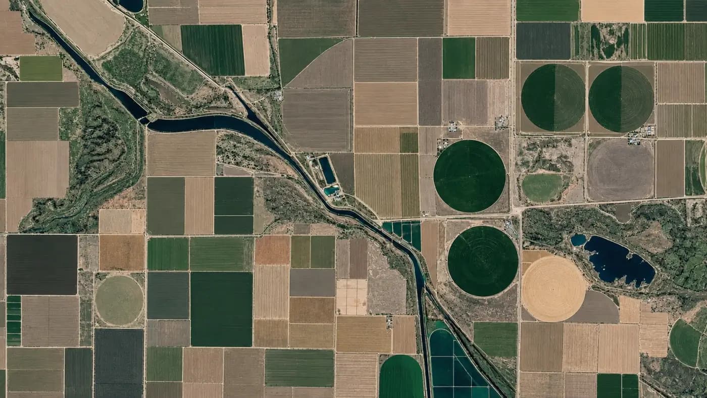
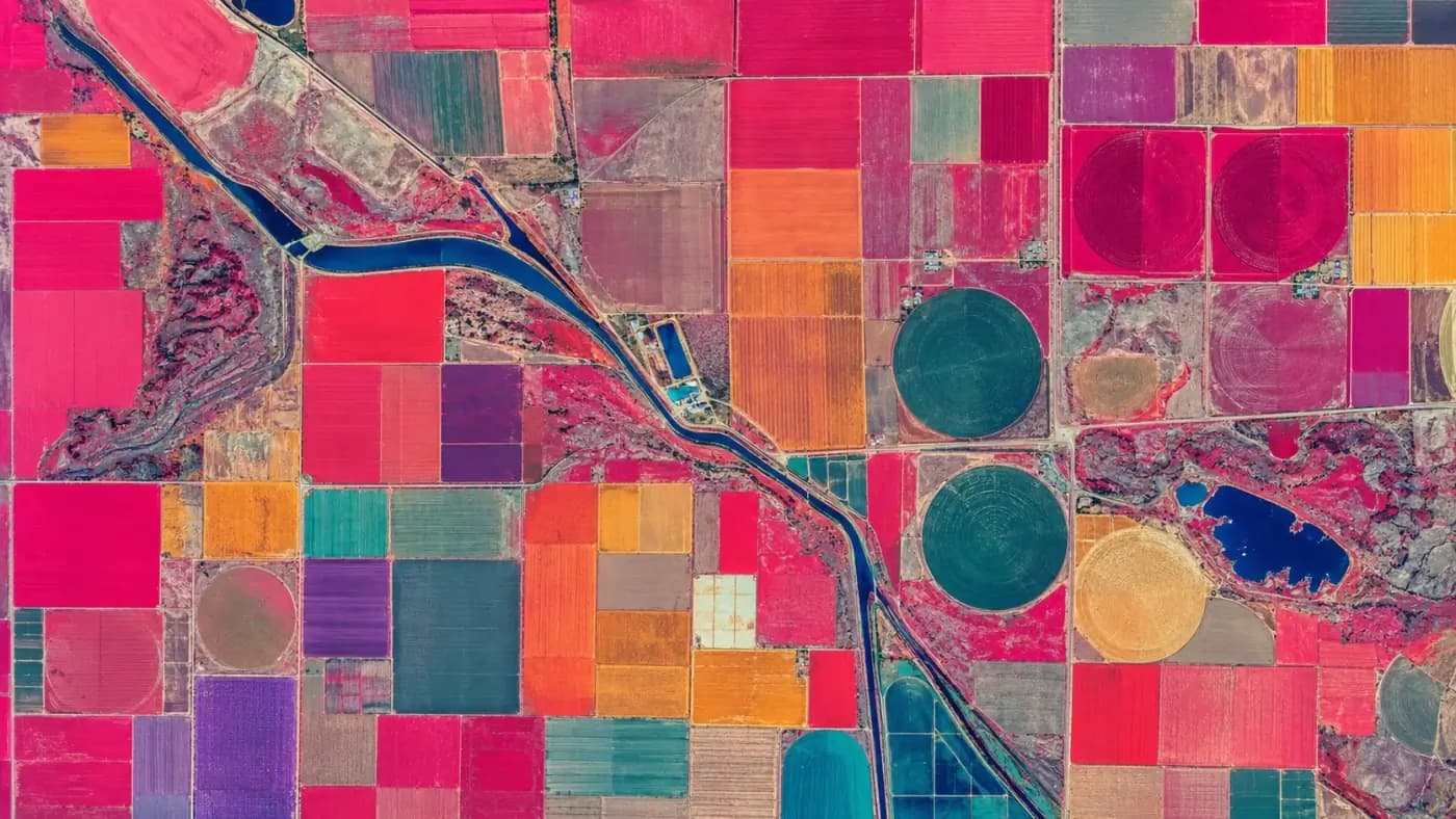
Analyze vegetation change in the selected area
Observation
- Lat
- REDACTED
- Lon
- REDACTED
- Source
- Illustrated EO pair
- Capture
- 2026-07-14 / 2026-08-11
- Analysis
- Vegetation index Δ
- Confidence
- …
Result
…
Illustrated EO scene of a fictional location; the analysis, metadata and results are synthetic.
Why GeoAI
Abundant imagery still yields too few answers.
Earth-observation archives keep growing. The bottleneck lies in turning that imagery into a result a non-specialist can act on, with the confidence of that result stated next to it.
Analysis needs specialists
Getting from raw scenes to a defensible answer means atmospheric correction, co-registration, index computation and validation. Most organizations that need the answer do not have that team.
Answers arrive late
Downlink, ingest, process, review. For change that matters, a flood front, an encroachment, a failing crop, the pipeline often outlasts the decision window.
Results arrive without their uncertainty
A classification without a confidence figure cannot be acted on responsibly. Uncertainty has to be reported as a first-class part of the result.
Our approach
A pipeline that reports its own confidence.
GeoAI turns a selected area and question into an analysis layer, a result and a confidence figure, with the source scenes and processing steps recorded. The same pipeline is designed to run on constrained hardware, which is what lets it move on board as the compute layer matures.
Ingest
Multispectral and hyperspectral Earth-observation data, with capture metadata preserved.
Prepare
Correction, co-registration and indexing, so scenes from different dates are comparable.
Analyze
Models that classify surfaces and detect change, sized to run on constrained hardware.
Report
A result with its confidence, its inputs and its processing chain attached.
Capabilities
What the platform is being built to do.
- Change detection between captures of the same area
- Surface and material classification from spectral signatures
- Vegetation and water index computation and trend tracking
- Areas of interest with scheduled re-analysis
- Confidence reported with every result
- Export to the GIS tools your team already uses
Who it's for
- Infrastructure
- Environmental intelligence
- Agriculture
- Energy
- Government
- Research
Why this belongs in a satellite company.
Running the analysis on the ground is the product being built now. Running the same analysis on board is what changes the economics of the whole system: a spacecraft that can interpret a scene only needs to send the interpretation. That is the point where the intelligence layer and the compute layer become one thing.
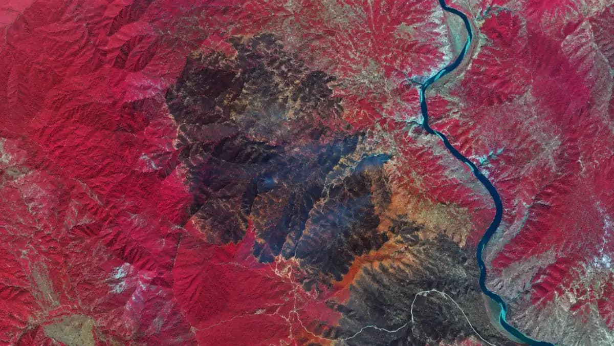
A burn scar on a river valley in false colour. · Illustrative image
Early access
Bring us a question you already ask manually.
The most useful early partners arrive with a specific area, a specific question and a low tolerance for a vague answer. Analyses, outputs and delivery are still being shaped, so the pipeline can be built around the decision you actually need to make.
We run a small design-partner program. Bring us a concrete requirement and we will assess scope, fit and timing with you, and say plainly where the product can be adapted to it.
dataztlan@dataztlan.com
FAQ
Whose satellite data does this use?
Third-party Earth-observation data. MixQuac does not operate satellites today. The platform's source-agnostic design lets our own captures become an additional input later.
Do you need your own constellation for this to work?
The software works with existing archives from day one. Our own spacecraft expand what is possible in latency and on-board processing.
What does 'edge processing' mean in practice here?
Sizing models to run within a payload's power and thermal budget so the analysis can execute where the data is captured. Today that constraint shapes how we build; later it is what lets the same pipeline fly.
Can I use it today?
The platform is in build and available to a small set of early partners, whose use cases decide which analyses ship first. Bring a concrete question and a region of interest and we will tell you what we can already do against it.
Will it work with our GIS stack?
That is the intent, and export targets are one of the things early partners decide. Tell us what your team runs so it becomes a roadmap requirement grounded in your stack.
What makes a good pilot?
A defined area of interest, a question you already try to answer manually, and someone who will tell us when the output is wrong.